A Closer Look at Visualize 2050
Learn about Visualize 2050 in this short video.
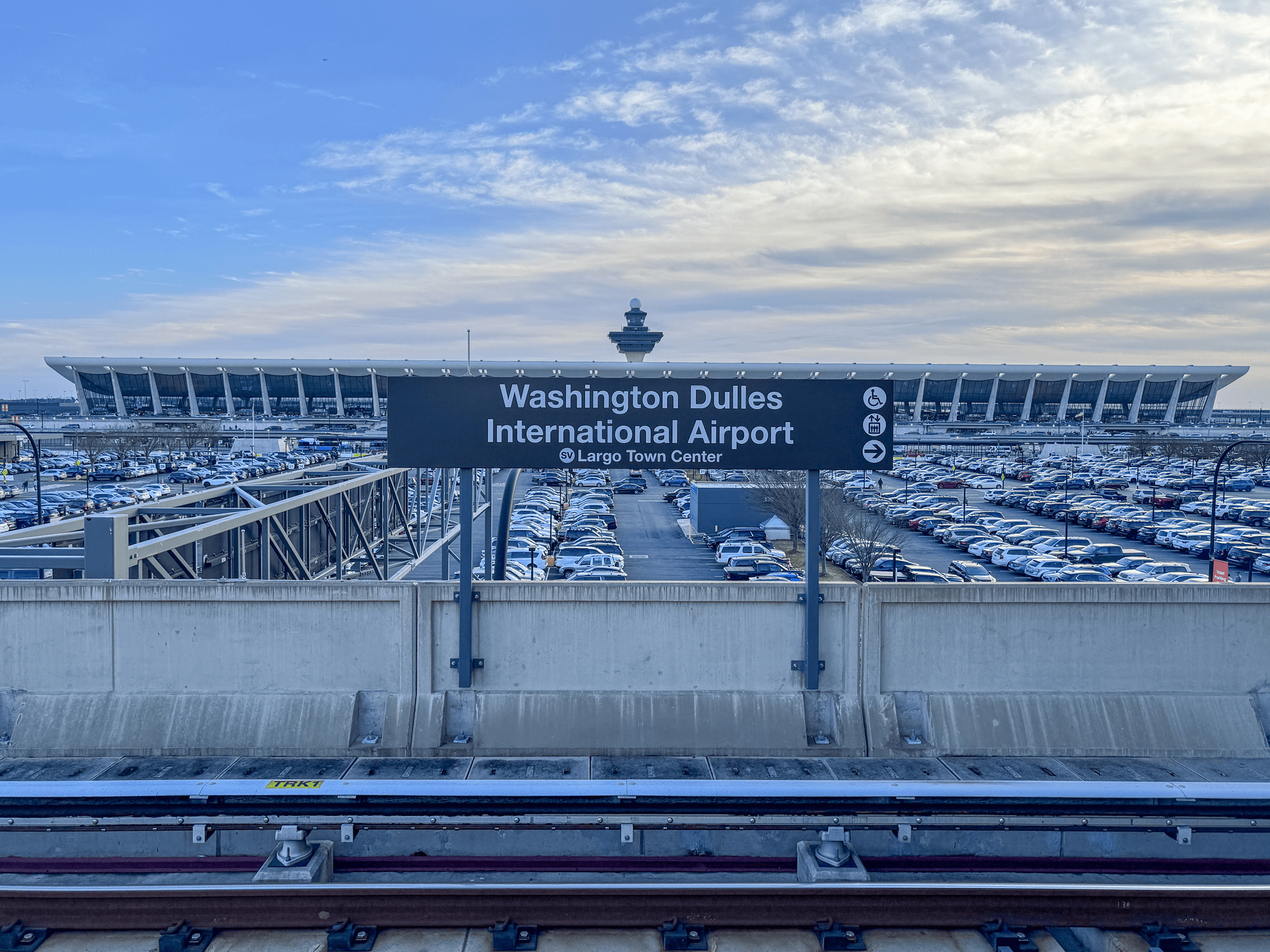
Visualize 2050 is the current iteration of the National Capital Region Transportation Plan for the Washington DC, suburban Maryland, and Northern Virginia region. Available here are the Plan, the FY 2026-2029 Transportation Improvement Program, which provides an investment blueprint for the initial years of the plan, and the Air Quality Conformity Analysis Report documenting achievement of federal air quality standards. Visualize 2050 is a milestone of an ongoing transportation planning process highlighting the region’s planned investments through the year 2050 to address transportation issues and achieve regional goals. The National Capital Region Transportation Planning Board (TPB) is the designated metropolitan planning organization overseeing the development of Visualize 2050
Learn about Visualize 2050 in this short video.
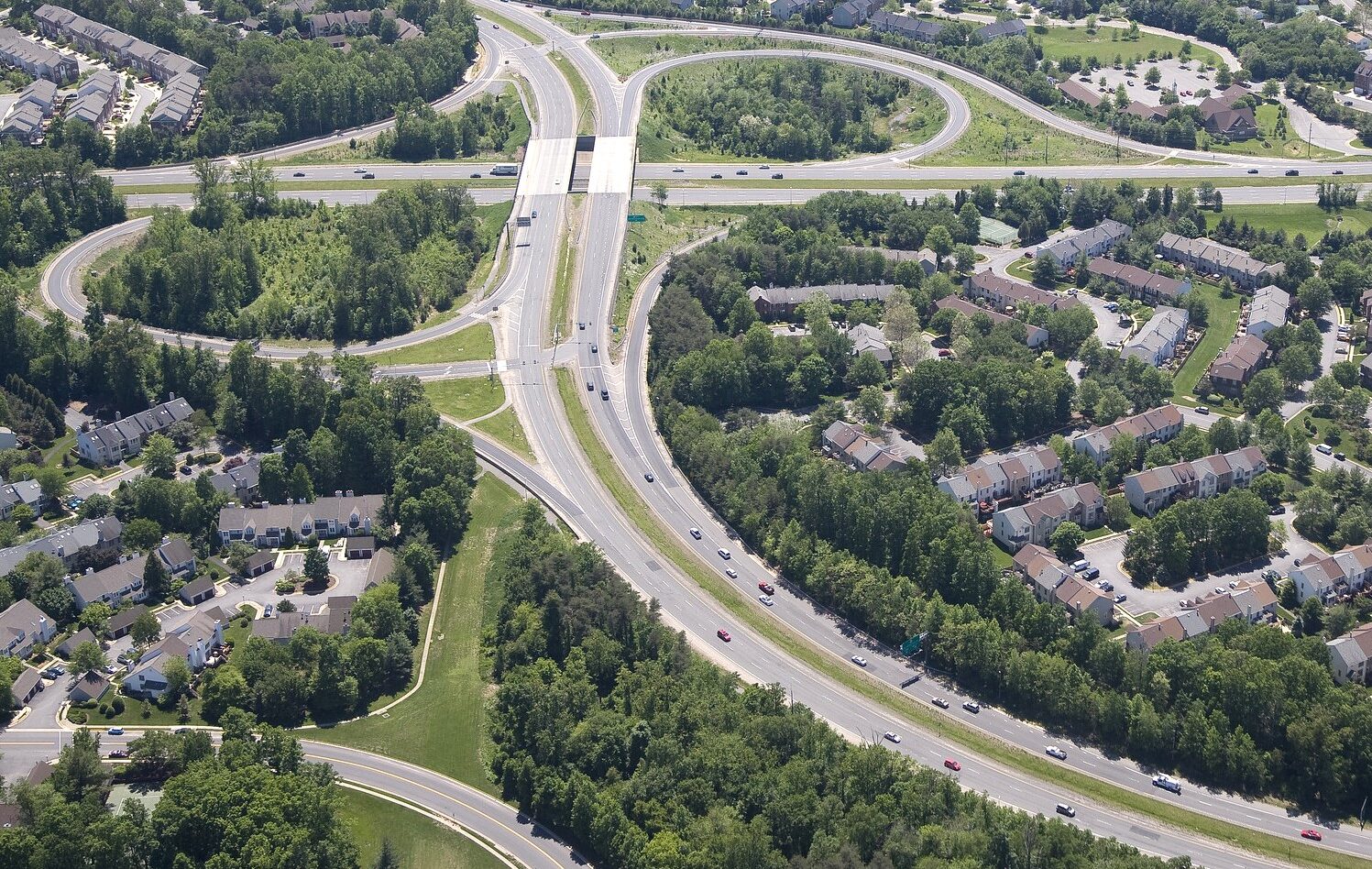
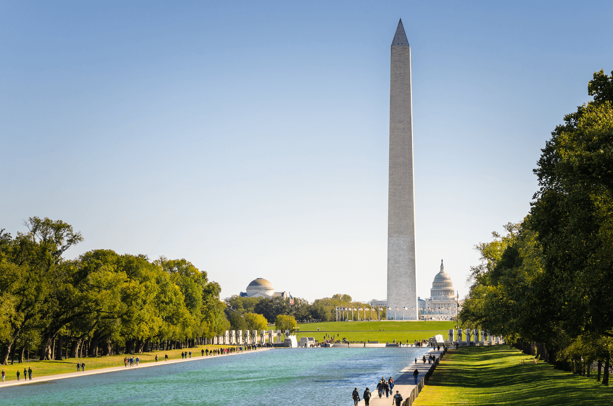
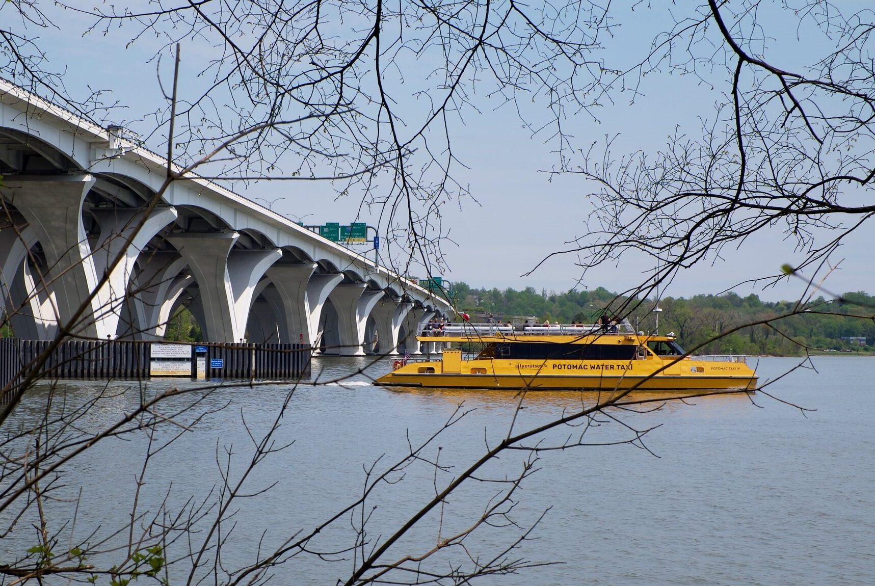
The metropolitan Washington region remains a vibrant world capital, with a transportation system that provides efficient movement of people and goods. This system promotes the region’s economy and environmental quality and operates in an attractive and safe setting—it is a system that serves everyone. The system is fiscally sustainable, promotes areas of concentrated growth, manages both demand and capacity, employs the best technology, and joins rail, roadway, bus, air, water, pedestrian and bicycle facilities into a fully interconnected network.
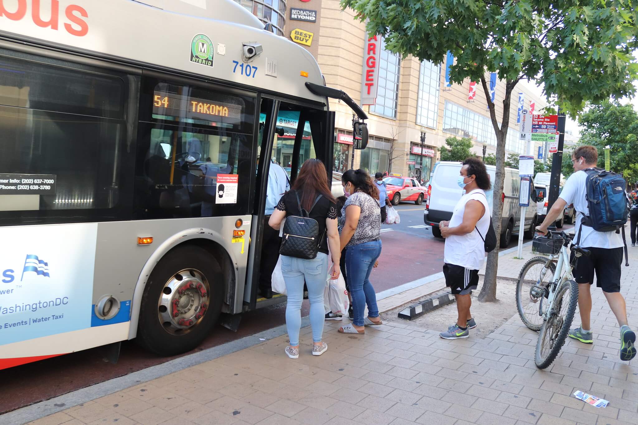
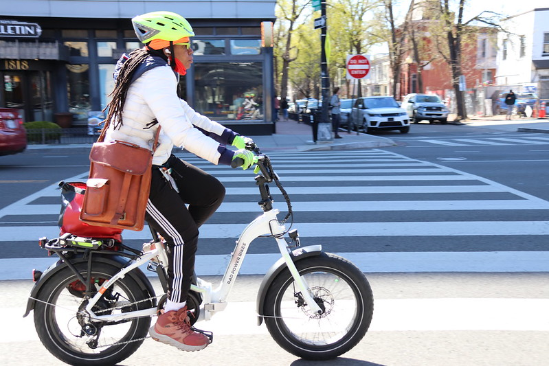
All people who use the transportation system in the region should have reasonable physical and affordable access to travel by road, transit, biking, walking, micromobility, ferry, and to housing choices.
The regional transportation network should be an asset to attract high quality employers, minimize economic disparities, and enhance each jurisdiction and the region through balanced growth and access to high quality jobs and education for all levels.
Transportation infrastructure and programs in the region should be environmentally, structurally, and financially viable.
Readily available multimodal travel options throughout the region that enable safe and efficient access to jobs, housing, services, and other destinations.
Vibrant, healthy, and safe neighborhoods with a range of travel and housing choices that support economic well-being.

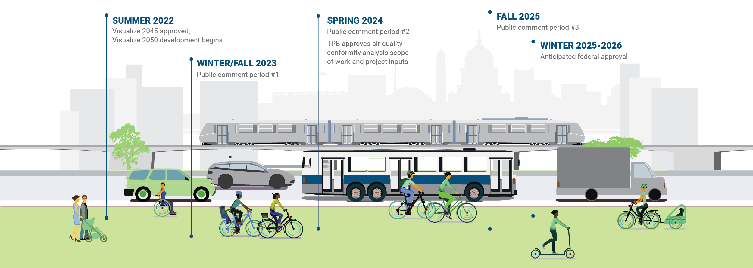
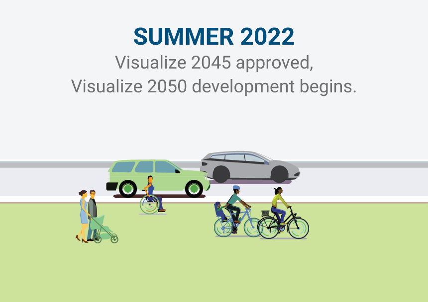
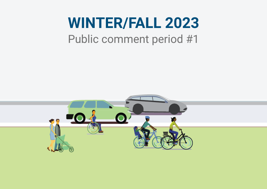
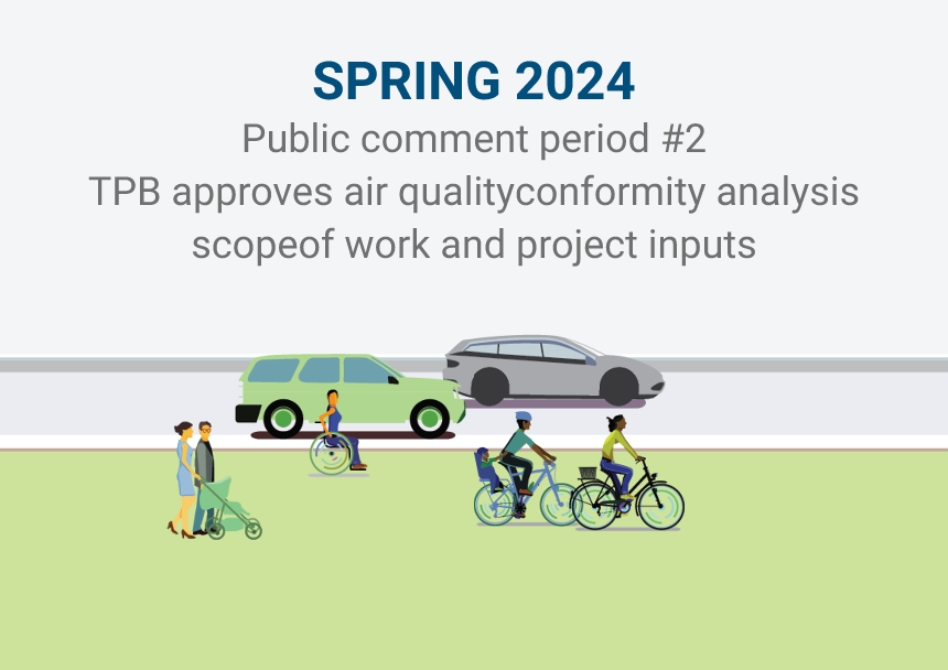
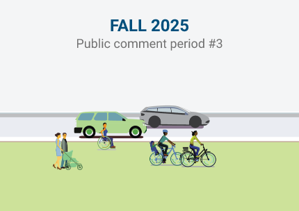
Visualize 2050 was a multi-year planning initiative that included public comment opportunities and ongoing coordination with the region’s transportation decision-makers. The plan was approved by the TPB on December 17, 2025.

Copyright © 2025 Metropolitan Washington Council of Governments. All rights reserved | Policies
The preparation of this website was financially aided through grants from the District of Columbia Department of Transportation (DOT); Maryland DOT; Virginia DOT; the Virginia Department of Rail and Public Transportation; Federal Highway Administration; and the Federal Transit Administration.